Hiking in Campbell River
Discover Hiking in Campbell River & Region
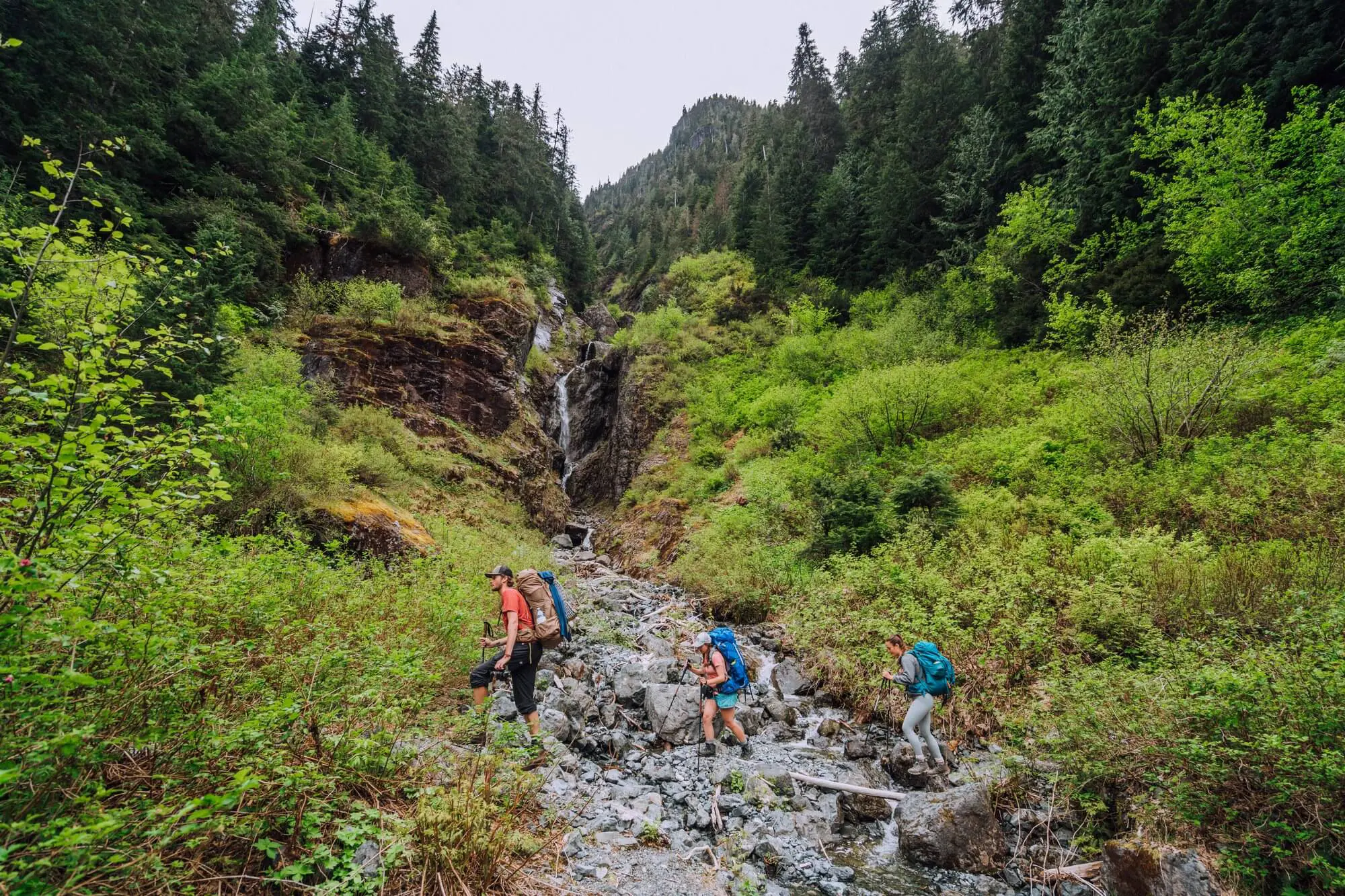
Hiking in the Campbell River Region is sure to delight hikers of all ages and skill levels. Explore old growth forests in the Elk Falls Provincial park, take a peaceful walk along the ocean, traverse the rugged beaches of Quadra and Cortes Island and take in panoramic mountain views in Strathcona Provincial Park. We are passionate about preserving these amazing natural places, when hiking please practice leave no trace principles, pack out what you pack in and for your own safety and the preservation of the trails, obey posted signs and keep to designated trails. We love seeing what hiking gems you find while here tag your photos with #DiscoverCampbellRiver to share them with us!
➡️Easy Hiking Trails
➡️Moderate/ STRENUOUS Hiking Trails
➡️Regional Hiking Trails
Easy Hiking Trails
Elk Falls Provincial Park
Directions: Located about 2km out of town take Hwy 28, turn at Brewster Lake rd and park in the day use area.
Distance: 2-6km
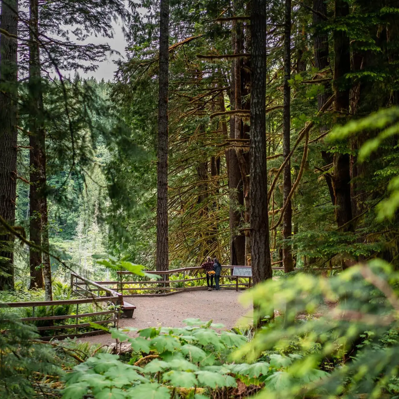
Lose yourself in nature and the overwhelming power of the Elk Falls from the suspension bridge above (2km return). After the waterfall, wander the Old Growth Loop trail to observe massive Douglas fir and cedar trees or the Riverside Loop trail (4km return) to view Moose Falls, Deer Falls, and the Dolphin Pool. More info about Elk Falls can be found here.
✔️Picnic Area ✔️Partial Wheelchair/Stroller Accessibility ✔️Washrooms ✔️Dogs on leash allowed
Beaver Lodge Forest Lands
Directions: Main Parking area is at Trask Rd just off of Merecroft Rd.
Distance: 6km return or longer if desired
The Beaver Lodge Lands have a wide variety of trails that are loved by locals and visitors alike. To get started, we suggest the Rail Trail, which is roughly 3km long and takes approximately 40 minutes to walk one way. This trail was developed on an old logging road, which created a path that is fairly wide and level. All trails in the Beaver Lodge Lands are multi-use and suitable for all ages and skills: bikers, walkers and horseback riders are all welcome. Click here for a map.
✔️Bike Friendly ✔️Wheelchair/Stroller Accessible (Rail Trail) ✔️Dogs are allowed on leash
Tyee Spit/ Dick Murphy Park
Directions: Trail starts at the end of Spit Rd.
Distance: approx 3km
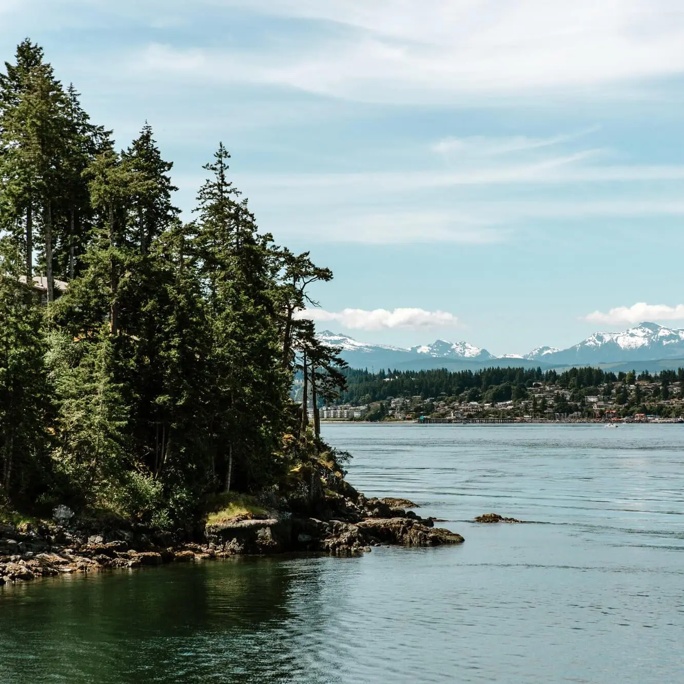
This walk along the Discovery Passage and the Campbell River estuary boasts great views of Quadra Island, wildlife and cruise ships in the summer. From July 15th to September 15th witness a Campbell River tradition: the Tyee Club rowers and fishermen trying to catch a salmon over 30lbs. Take a detour down to the rocky beaches and dip your toes in the chilly Pacific Ocean for a true local experience. Catch a bit of the sunset from the viewing platform on the estuary side of the spit.
✔️Wheelchair/Stroller Accessible ✔️Washrooms ✔️Picnic Area
Miracle Beach Provincial Park Trails
Directions: Trails start from the Parking lot at the end of Miracle Beach DR
Distance: 2km
Trails lead from the campground and parking lot through a mixture of old and second growth forest. A dog walking trail is designated and accessible from the north beach parking lot. For more information about the park click here.
✔️Washrooms ✔️Dogs on leash allowed in designated area ✔️Picnic Area
Rotary Seawalk
Directions: Runs from Hidden Harbour to Twillingate Rd, there are multiple parking areas along Hwy 19A.
Distance: Up to 15km
This paved lane runs alongside the shoreline offering a flat and convenient access to spectacular views of the Discovery Passage and Quadra Island. The pathway winds through iconic local hubs like the Fiftieth Parallel marker, Rotary Beach Park and cafes. Highlights for photographers are the Big Rock a massive, painted rock with many legends to its origin and Peabody the Raccoon a driftwood sculpture that “greets” people as they walk along the seawalk. In addition to the drifted creation, view impressive wood carvings scattered along the Sea Walk, which are created during the annual Transformations on the Shore chainsaw carving competition.
✔️Wheelchair/Stroller Accessible ✔️Washrooms ✔️Bike Friendly ✔️Dogs allowed on leash
Salmon Point Trail
Directions: Parking and the trailhead are accessed from Regent Road just before the one way bridge.
Distance: 5km
Fondly known by locals as the “Pub to Pub Walk”, this flat and scenic trail runs along the ocean’s edge as well as along the mouth of the Oyster River. This trail offers spectacular views of the coastal mountain range and is home to a variety of birds and other small sea life along the shores.
✔️Washrooms ✔️Dogs allowed on leash
Moderate to Strenuous Hiking Trails
Canyon View Trail (Elk Falls Provincial Park)
Directions: Access off of Highway 28 at the logging bridge.
Distance: 6km return minimal elevation
The Canyon View Trail follows the banks of the Campbell River. In the late summer and fall it is likely that you will see people fly-fishing for salmon and you may even spot some swimming upstream on their way to spawn. If you would like to view Elk Falls and the suspension bridge, you can add the Millennium Trail on to your adventure, which would add on an extra 3.5km (return) to your journey. For more information about Elk Falls Provincial Park click here.
✔️Picnic Area ✔️Washrooms ✔️Viewpoints ✔️Dogs allowed on leash
Ripple Rock Trail
Directions: Trailhead is off Hwy 19 about 16km north of Campbell River. The parking lot is not signed but there are signs before the trailhead.
Distance: 8km (Return)
This popular hiking trail overlooks the site of the famous 1958 Ripple Rock blast, which was the largest non-nuclear explosion in the world at the time. While the detonation was dangerous, the trail is the opposite. At about 4 kms long in each direction, this moderate hiking trail provides scenic viewpoints overlooking Menzies Bay and the Seymour Narrows. For a trail map click here.
✔️Picnic Tables ✔️Dogs allowed on leash ✔️Viewpoints
Regional Hiking Trails
Chinese Mountain – Quadra Island
Directions: Trail head is off Hyacinthe Bay rd. the signs for the parking are well marked.
Distance: 5km & about 300m elevation gain, trail takes roughly 2hrs
The Chinese Mountain trail rewards hikers with rock bluffs and panoramic views of the Discovery Passage and Islands. The trail itself is rough, rocky and steep. This trail can be done as a loop with steep on the way there and switchbacks on the way back. This also gives access to the Manzanita Wall which is a popular spot with rock climbers.
✔️Viewpoints ✔️Dogs allowed on leash
Rebecca Spit Provincial Park – Quadra Island
Directions: Take Heriot Bay rd, the turn for the park is well marked.
Distance:Roughly 1-1.5hrs
The Rebecca Spit Provincial Park on Quadra Island is great for those looking for an easy afternoon walk. The trail loops out to the tip of the spit and along a lovely beach which at low tide is sandy and a great place for swimming. The park has a large picnic area and a big open grass field to enjoy. While you’re in the park be sure to meet Quadra Island’s newest resident Mayhew the Sasquatch. For more information about Rebecca spit click here.
✔️Picnic Area ✔️Dogs allowed on leash ✔️washrooms
For more hiking trails on Quadra Island click here!
Kw’as Park – Cortes island
Strathcona Provincial Park
Strathcona Provincial Park offers hiking for all skill levels, everything from Alpine lakes to stunning waterfalls and Mountain Views await hikers. For more trail info as well as other activities such as paddling and fishing please visit our Strathcona Provincial Park Page.